I’ve grown very fond of the landscape around Bridford, on the eastern boundary of Dartmoor, but it’s been several years since my last visit to Heltor Rock, just west of the village. Until recently, though, I had never visited Blackingstone Rock, a mile to the south of Heltor. A couple of weeks ago I looked at the map and realised that I could walk to both Rocks from Bridford and back again in a vaguely triangular route on minor country lanes. This wouldn’t be traditional Dartmoor walking, but the lanes are so little used and narrow, that it would be rather like walking along some of Devon’s wonderful green lanes (which they may well have been a few decades ago), but without all of the mud and waterlogged bits! And so it proved…
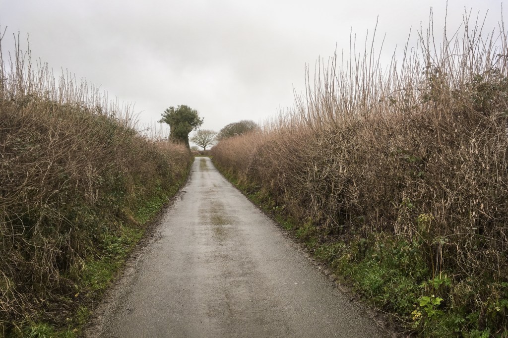
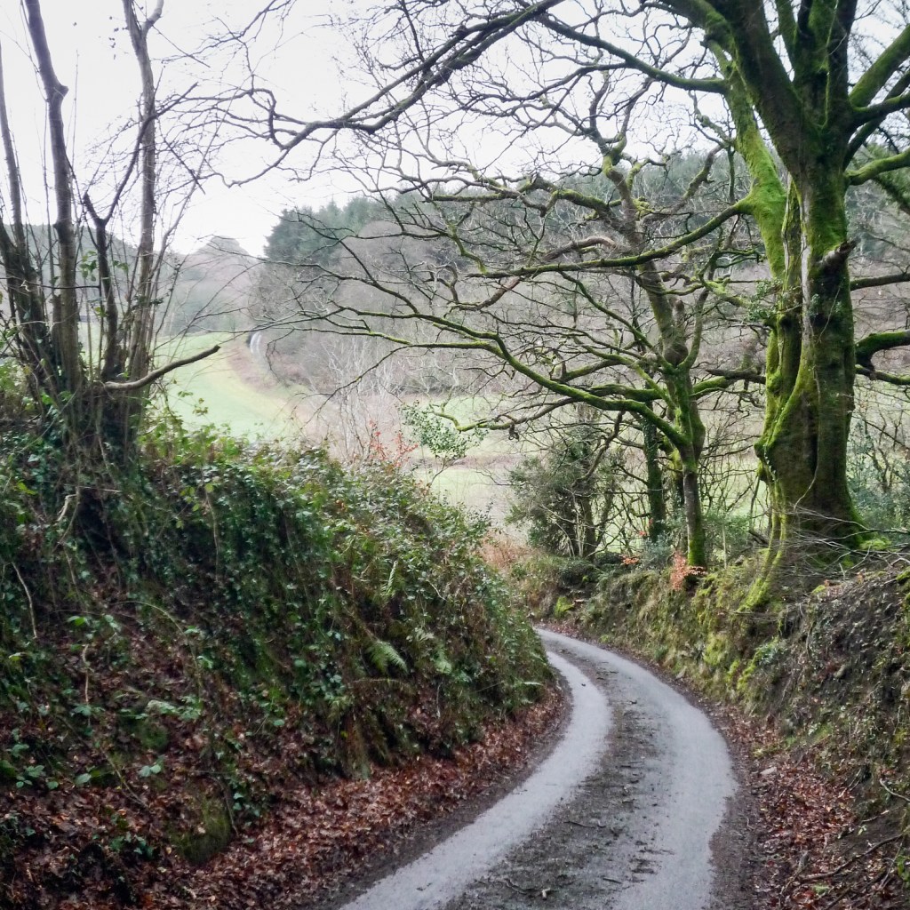
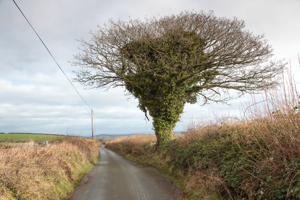
The weather was very dull and windy and there was the threat of rain as I set out up the hill from Bridford and took the lane to Heltor Rock. The high hedges and ‘marker’ trees were just like those typically found in green lanes across the county, so I felt very at home here. A quick iPhone photo of the lane illustrates this.
From my parking spot to the Rock was roughly a mile, and despite the hard road surface there was a section of around 20 feet that was entirely submerged – though not too deep at the edges to wade through. Between parking in Bridford and this point, I had had to stand aside for just one small vehicle.
The narrow path leading from the road to the Rock was rather muddier and the two farm gates near the site both had very stiff and reluctant latches: I’m sure many would really struggle to open them. Once by the rock I remembered my lasting two impressions from my last visit: first – the view all around was much more extensive than I ever expected; second – that big rock was not going to be too difficult to climb up, but would be a fair bit harder to get off without a helping hand! I scrambled up anyway, and set up my tripod to take a photograph. It almost immediately blew to the ground while I was reaching in the rucksack for my camera, and I remembered the third impression from my last visit: the rock is so isolated that it is incredibly windy up there sometimes! There was no way of securing a steady image using the tripod, and I reluctantly dismantled it again, increased the ISO on my camera from 100 to 800 and handheld as best I could. The first image shows the view back to Bridford and beyond – in my original photograph the Haldon Belvedere at Higher Ashton is clearly visible on the top left horizon.
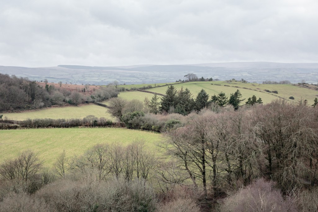
In the opposite direction the glorious land across to Dunsford, Cheriton Bishop and beyond opens up: Dunsford was the starting point of my last ascent to this spot, beginning at Steps Bridge:
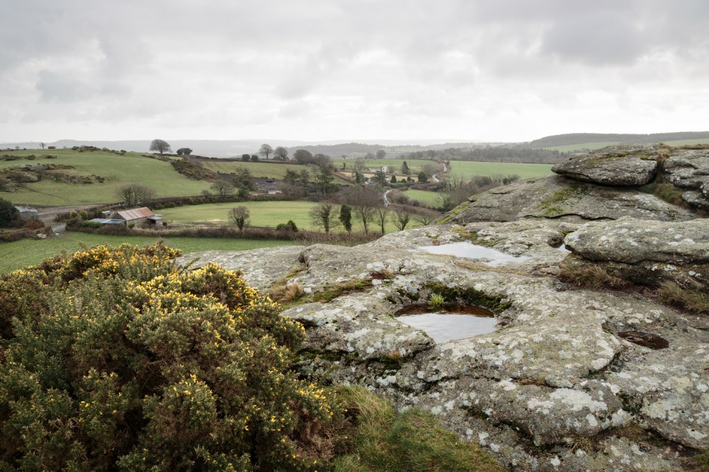
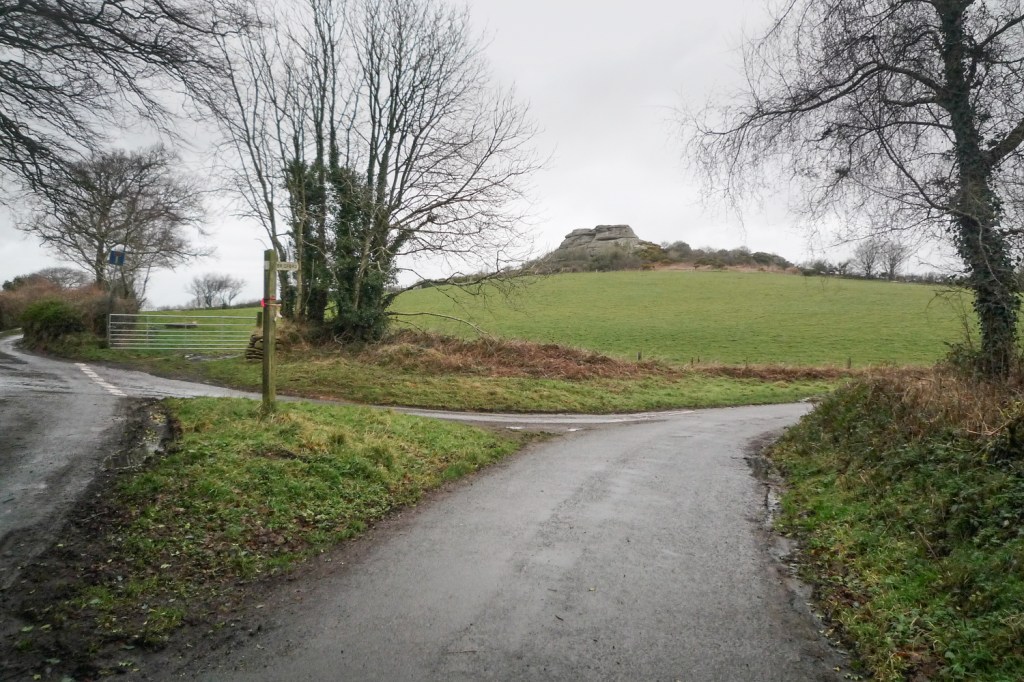
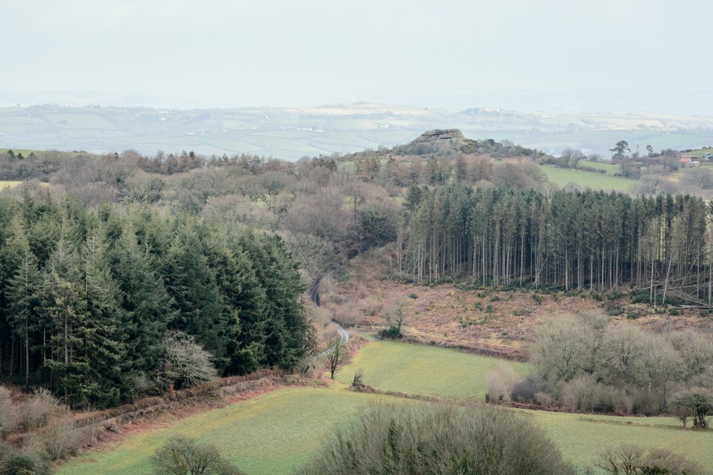
The view west is what really occupied my interest though, because there was my next target: Blackingstone Rock. In the photograph below it can just be seen (as a little pimple) above the top yellow field by following the winding road and line of trees above the little rock basin on the right:

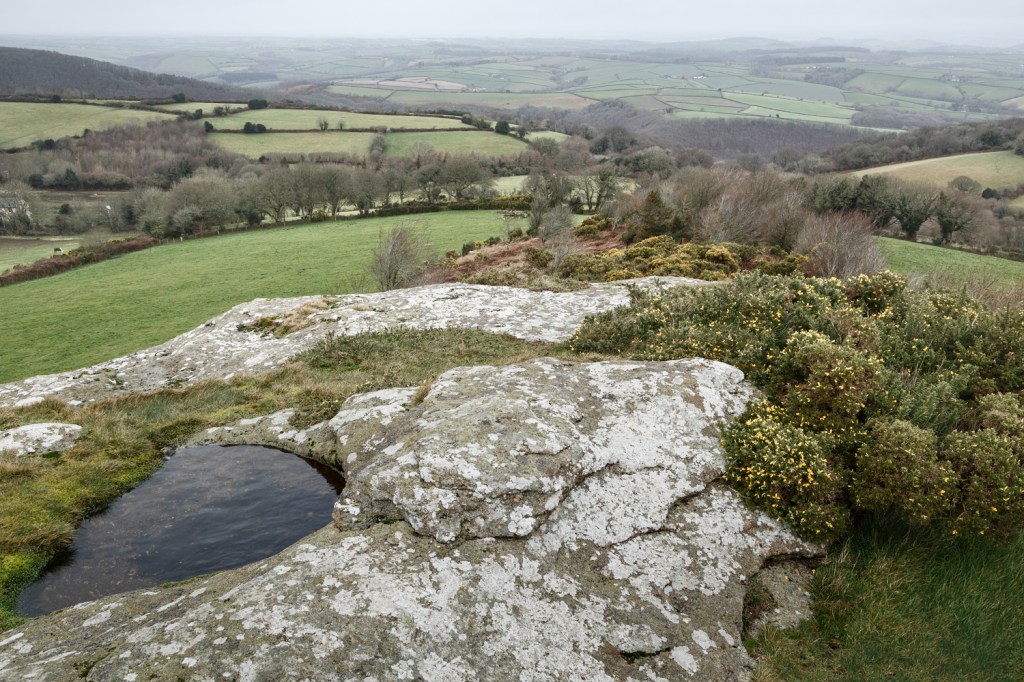
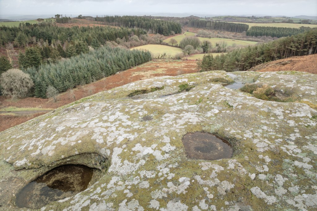
I took an alternative vertical photograph from here to show the fabulous worn-by-time shapes and the ankle-turning-leg-breaking potential of the rocks in the gap beyond these pools:
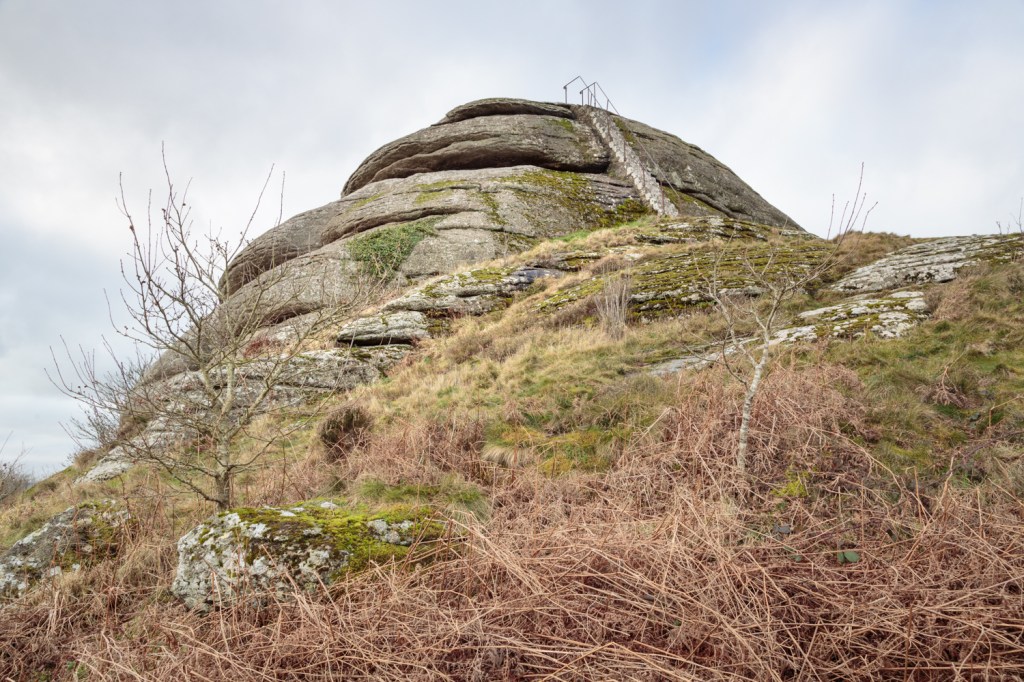
The dome-like shape of Blackingstone Rock is a little clearer in the image above.
From here the only way was back down then west at the junction of lanes. Getting off the rock in such slippery conditions while carrying a heavy rucksack of camera gear and an unused tripod was every bit as nerve-racking as I remembered it to be!
Here’s the junction of lanes, looking back at Heltor Rock. The lane to the right leads back to Bridford. This was taken with a compact Lumix camera I bought well over 10 years ago and forgot I had! It’s in no way comparable to my Canon (little dynamic range, noisy, cool colours), but has a nice little Leica lens which has its own qualities – I may use it again, but in fact my iPhone is sharper with better dynamic range!:
The one mile (slightly longer I reckon) lane to Blackingstone Rock is lovely: it winds, dips and climbs like a roller coaster, although it is quite steep in a couple of places. I stepped aside for two delivery vans and a Land Rover, so I can’t complain that it was busy. Here’s another Lumix image as Blackingstone becomes more obvious ahead:
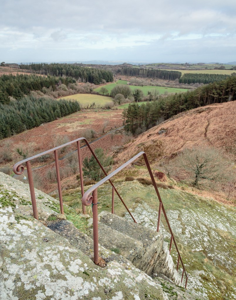
Veering off the lane and to the left I climbed around from the front side of the Rock to the back to meet the steps placed here in the 1870s; they make a quick climb the top quite exhilarating on a windy day!
From the top it’s easy to make out Heltor Rock to the east – it was, if anything, even windier on the top of this rock than Heltor, so I resisted using the tripod until it had calmed slightly, and most of the following images were made handheld at a high ISO.
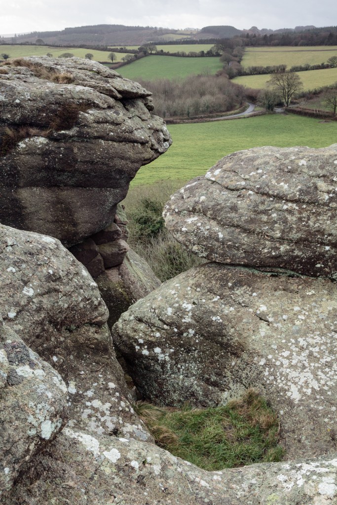
The views from here were every bit as extensive as those from Heltor, and very different. To the south was the unmistakable profile of Hay Tor, and the sun appeared just for a few moments as I took the image, even as the wind blew strong (see the water in the rock pool!):
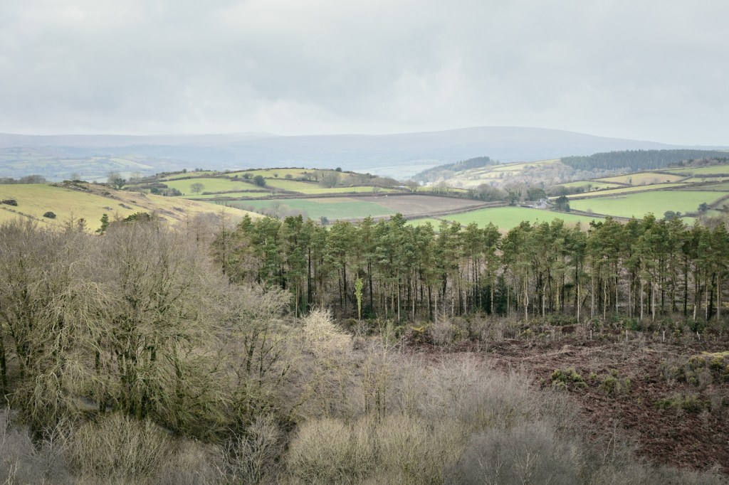
Aspects to the west pick out features such as the Fernworthy plantation and Cosdon Hill, although Moretonhampstead itself is mostly hidden from view by the hills all around.
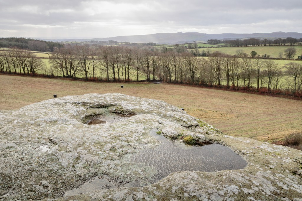
There are several small rock basins on the top of the Rock, all rather full on my visit, and they made a striking foreground to this wide view toward Heltor:
I decided to try one 200mm photograph of Heltor from here, to bring it into the frame as closely as possible. The high winds meant the only workable possibility was a handheld exposure at a very high ISO. The lane I had used to walk between the two Rocks can be clearly seen in this rather compressed perspective.
I made a promise to myself to revisit the Rock again soon – perhaps in May when the Bluebells are said to be glorious around these parts – and made my way back to the lane leading to Laployd Barton, joining another lane back to Bridford. I didn’t have time to photograph the quiet and lovely land visited by the first lane, but again I will do so at some point soon. I didn’t have to step aside for any vehicles on this peaceful road, and only had to do so once (for a small van) on the connecting lane to Bridford, where I took this image. It was rather unfortunate that I’d stopped to take a photograph of this enigmatic tree circled by a large number of crows when the van appeared and they rapidly dispersed. I took the photograph anyway because I love these lanes, and this tree, and the light was gorgeous (for the first time that day!).
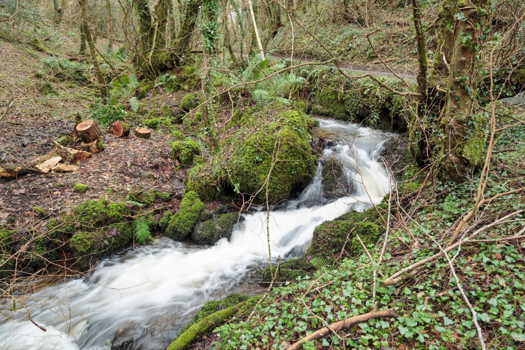
Back at the car I realised I had been walking and photographing, via metalled country lanes, for between 3 and 4 hours, but had seen only 5 vehicles and had not met any other person. I decided to drive home via the steep and narrow lane connecting Bridford and Christow, because I wanted to see how fast the water was running in the little stream that tumbles alongside the roadside. The stream begins in the hills just above Bridford village and takes a very sharp and fast route to eventually empty into the Teign near Christow bridge. I’ve always loved seeing it, so thought I’d take a few minutes to park where I could (easier said than done) and take a couple of photographs.
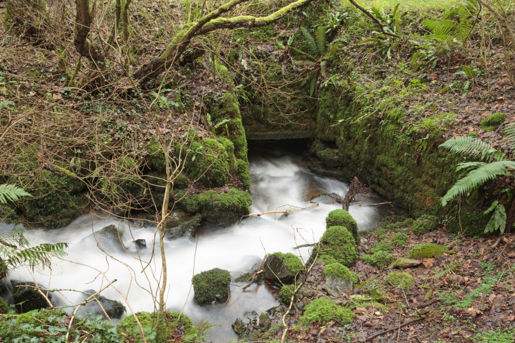
The stream passes under a little footbridge leading to Hole, and here I made my last image of the day:
The total walking distance was just a little over 5 miles, and to be quite honest I’ll very happily walk it again – perhaps the other way around next time!

Leave a comment